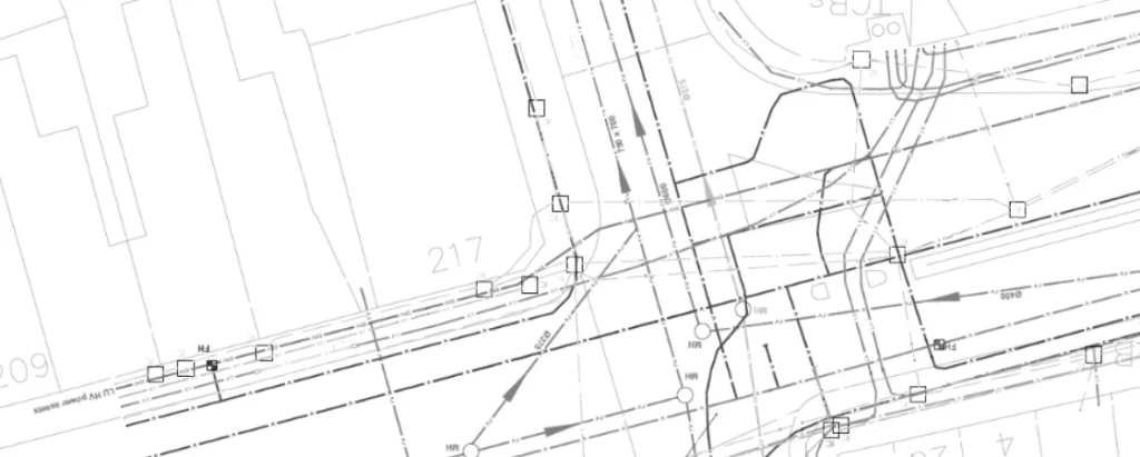
Underground Surveys
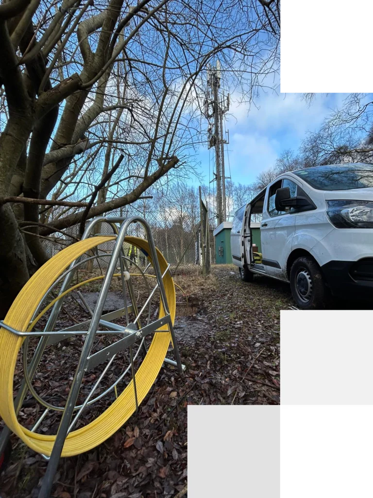
About our underground survey services
At CFL Infrastructure, we specialise in delivering comprehensive underground survey solutions that give you the confidence to build, dig and develop safely – whether you’re breaking ground on a compact rural plot or orchestrating major works in the heart of a bustling city. Our team is ready deliver to PAS 128 standards, ensuring that every metre of your site is mapped to the highest levels of accuracy and reliability.
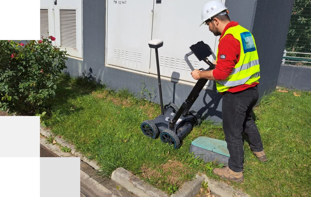
Using state-of-the-art Ground Penetrating Radar (GPR) equipment, we penetrate beneath the surface to reveal utilities, voids and other hidden features without the need for disruptive excavation.
For buried metal detection, our Electromagnetic Location (EML) services combine precision instruments with expert interpretation to identify and record metallic assets before you commit to any groundworks.
When you need pinpoint localisation, our Lift & Trace techniques trace live cables and buried conductors to within centimetres.
Applications of underground surveys and utility mapping
Construction planning
Ensure safe construction projects by identifying and mapping underground utilities.
Infrastructure development
Provide essential data for planning and developing infrastructure projects.
Archaeological and historical projects
Preserve cultural heritage by mapping underground features at archaeological sites.
Telecommunications
Support the planning and installation of telecommunication infrastructure with precise utility mapping.
Environmental assessments
Aid in environmental studies by mapping underground utilities.
Urban planning
Provide accurate utility maps for effective urban development.
Types of underground survey
PAS-128
A PAS128 survey is the UK’s recognised standard for underground utility detection and mapping. We deliver PAS128-compliant utility surveys across London and the UK, precisely locating every underground asset – from gas mains to water pipes – using Ground Penetrating Radar (GPR) and Electro-Magnetic Location (EML). We also undertake desktop studies to understand what we’re looking for on each site. Our expert surveyors provide reliable, detailed data to keep your construction or excavation projects on time and on budget.
Ground Penetrating Radar (GPR)
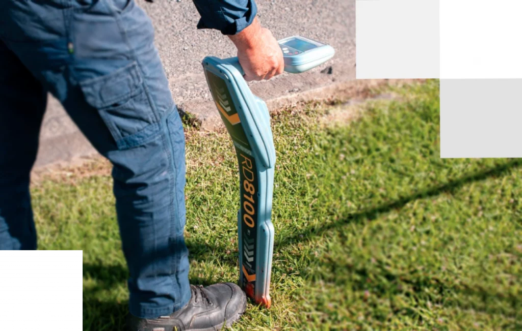
Electro Magnetic Location (EML)
Lift and Trace
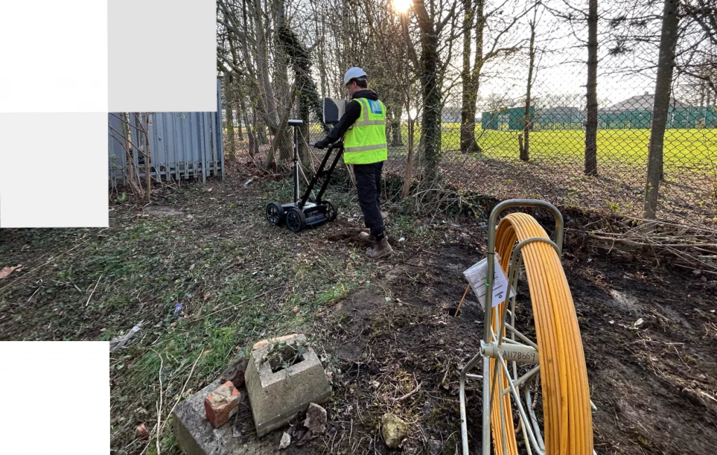
A lift and trace survey for utilities gives you a clear, reliable picture of what lies beneath your site without digging up the ground. Our team lifts manhole covers and inspects access chambers, then uses ground-penetrating radar and electromagnetic locators to trace the exact path of pipes and cables. You’ll get pinpoint accuracy on utility routes, helping you avoid accidental strikes, plan work more efficiently and keep projects moving smoothly—all while minimizing disruption, cost and safety risks.
Underground survey case study
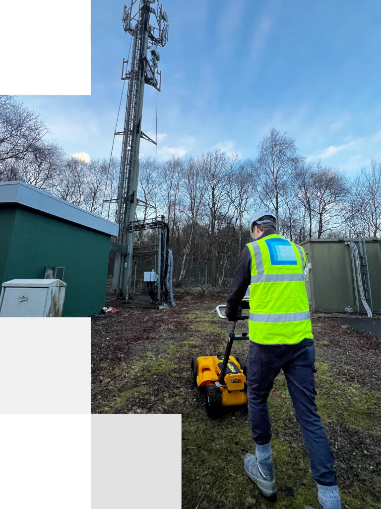
Location: Edinburgh, UK
Project description:
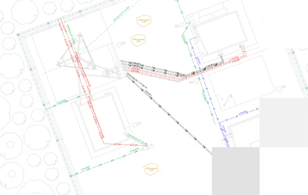
CFL Infrastructure was engaged to perform a PAS128 utilities survey at the industrial facility in Edinburgh to support the installation of a new telecommunications monopole.
Our team carried out a thorough desktop review of STATS records, followed by a visual inspection, an electromagnetic location (EML) survey and a ground penetrating radar (GPR) survey. All findings were compiled and delivered in full compliance with PAS128, providing our client with precise information on the position and depth of buried services to ensure safe excavation.
Demonstrating our responsiveness, we mobilised within one week of receiving instructions, keeping the project on schedule and aligned with the client’s timeline.
Underground survey deliverables
CAD Drawings (DWG/DXF)
Plan and profile views showing horizontal alignments and measured depths of all detected utilities.
PAS128 Compliant Report
A structured document summarising methodology, survey standards, accuracy statements and caveats, followed by discussion on what has been found and recommendations for the proposed project.
Site Sketches & Mark-Ups
Field-marked plans or sketches showing initial line-tracing, EML routes and GPR hit locations.
Digital Deliverables Package
PDF report, CAD files, data logs and any GIS layers, submitted via secure file transfer or client portal.
